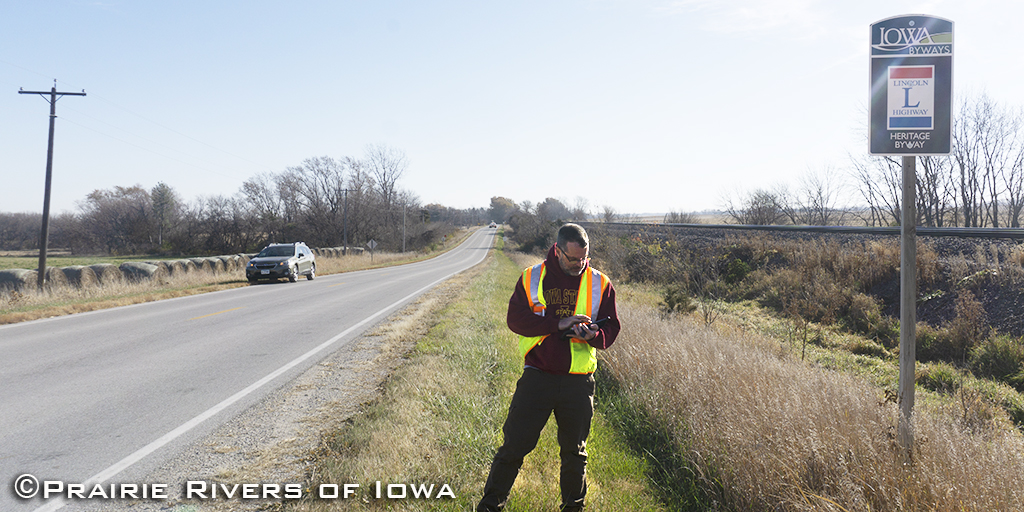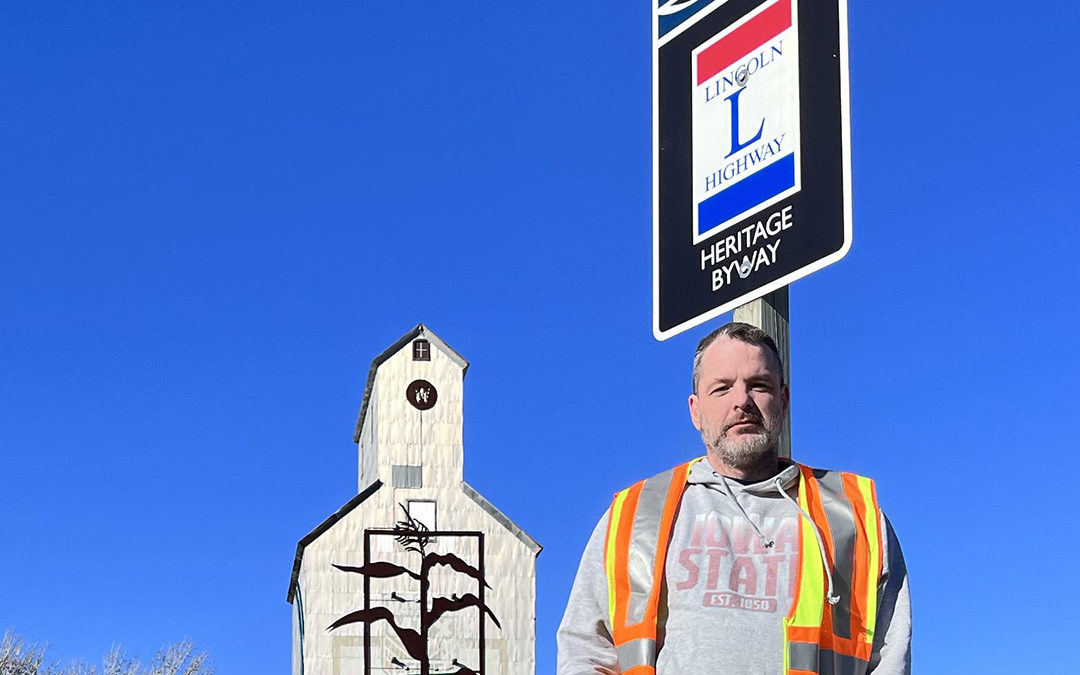
Lincoln Highway National Heritage Byway Sign Inventory Completed
As the Lincoln Highway National Heritage Byway coordinator, I recently had the privilege of seeing every corner of the Byway from the Missouri River to the Mississippi River — crossing every river in between. The Iowa Department of Transportation (IDOT) asked byway coordinators to inventory every byway sign on their respective byways across Iowa. For me, that meant 1100 miles, including both sides of the road, and the loops through downtowns. The goal was to complete the inventory before winter begins. We finished just before the big pre-Christmas storm in 2022.
Overall the signs are in good condition and help tell the story of the Byway. But in areas, they go missing, especially where there has been redevelopment along a main street or where new highways have been expanded. Some signs even have a few bullet holes in them. IDOT now has the location and condition of all Iowa Lincoln Highway National Heritage Byway signs so improvements can be made.

I can’t take all the credit. I had the benefit of having a Prairie Rivers of Iowa volunteer to switch off data entry and driving. My job would have been made much more difficult without a helper who was so thoughtful and thorough. It also made it easier to take in the beautiful landscape along the journey.

We chose to do the inventory on the weekends from October to December and were witness to the seasons changing. Not only that each town had its own charm and many were decked out for the holiday season. One afternoon an awe-inspiring fog frosted the countryside and town trees. Garland, lights, wreaths, and bows adorned lampposts and store frontages along brick-paved streets. This is not to mention the tenderloin and loose meat sandwiches along the way. (Pictured: Taylor’s Maid-Rite in Marshalltown)
Some folks call Iowa flat, but if you travel the Lincoln Highway in Iowa you’ll see it’s not. In Pottawattamie County, the Lincoln actually goes from north to south for a segment where you can see the sculpted deposits as peaked hills with narrow ridges as the windblown Loess Hills between the divide of the Missouri River Alluvial Plain.
I’m a native Iowan but have never had the opportunity to see Iowa in such a way. The Lincoln Highway Heritage Byway traverses landscape changes from west to east from its landforms. There’s the Missouri River Alluvial Plain, Loess Hills, Southern Iowa Drift, the Des Moines Lobe, Iowan Surface, and East-Central Iowa Drift Plain.
Along the way, Iowa’s byways crisscross, adding to the allure of America’s Byways® in Iowa. One way to understand Iowa and its cultural and natural resources is to travel along its byways. That’s why byway signs are so integral to telling Iowa’s story. They are part of the deep heritage of wayfinding that began in the 1910s with telephone pole paintings and Boy Scout markers.
Iowa Winter Scenes Along the Lincoln Highway National Heritage Byway Corridor

Mt. Crescent Ski Area in Honey Creek

Farm Scene Near Carroll

Historic Niland’s Corner Near Colo
Bonus Video